
FAQ
Got questions? That’s fair.
Just be smart, be prepared, and go have a proper adventure.
We make these trails because we love them. They’re free, they’re there, and they’re yours.
All we ask? Use them with respect. Be responsible. And get the most out of wherever you’re headed.
Why We’ve Retired the Waytrails App?
On Thursday 19th December 2024 and on Monday, January 27, 2025, we notified all users who had subscribed to receive updates that we would be closing the Waytrails app. In compliance with GDPR, we only retained the email addresses of those who had explicitly opted in to receive marketing and updates.
After much consideration, we’ve made the difficult decision to withdraw the Waytrails app from the stores. The reality of competing with big tech became unsustainable. Our mission has always been to create joy for thousands of trail enthusiasts, not to funnel hard-earned money into hosting platforms that took more than they gave.
The app world has become an endless cycle of fees, cuts, and restrictions. This relentless grind was pulling resources away from what we value most: our customers and the trails we love to share. With the rise of free mapping tools and AI, along with platforms like YouTube offering tips, advice, and historical content, we couldn’t justify the ongoing investment in the app.
What This Means for You
The good news is our website now provides everything you loved about the app—for free!
- Downloadable GPX files compatible with Garmin
- Trail itineraries
- Inspiring stories and historical insights
App Access and Refunds
Access to the Waytrails app will continue until 31/01/2025, after which it will no longer function.
To request a refund:
- Go to your subscription in Apple or Google.
- Follow the instructions in How Do I Cancel My Subscription?
Please note, we don’t hold your money—Apple and Google do. They deduct their share first and only then pass on the remainder to us.
Disclaimer of Liability
Waytrails accepts no liability for any injury, loss, or death sustained while using its trail information or GPX files; all routes are undertaken at the user’s own risk.
Waytrails provides route information, GPX files, downloadable content, and trail advice for general guidance and inspiration only. While we take reasonable care to ensure the accuracy of the information provided, all trails are undertaken entirely at your own risk.
By using Waytrails resources, you acknowledge and accept that outdoor activities (including but not limited to hiking, cycling, running, or walking) carry inherent risks. These may include adverse weather, rough terrain, navigation errors, equipment failure, physical injury, or other unforeseen hazards.
Waytrails, its affiliates, contributors, and partners accept no responsibility or liability for any injury, loss, damage, or death that may occur as a result of using the information on this website or following any of the routes provided.
It is the sole responsibility of each user to assess their own abilities, plan appropriately, carry suitable equipment, and seek expert local advice where necessary. You are strongly advised to check trail conditions, legal access rights, and weather forecasts before beginning any trail.
How do I plan my trail?
Every trail comes with a free GPX file so you can load it up to your own devices. This seemed to be what people preferred when we asked!
What’s included in the itinerary?
For select trails, you’ll get the full breakdown: terrain, must-see spots, gear tips, and where you can stay at the end of the day. We’ve done this for you. Just what you need to move with confidence.
Are the GPX files free?
We don’t charge for GPX files. We don’t believe knowledge and access to the outdoors should be charged. Just head to the trail page and download it. Simple as that.
What else does Waytrails give me?
Waytrails isn’t here to hold your hand, we’re here to get you trail-ready. You’ll get GPX files, honest itineraries, booking links, local insight, and everything you need to actually pull this off. Use it all. Go in prepared.
Is there a paper map of the Western Front Way?
We provide digital maps for navigation and trip planning, ideal for the majority who now use digital tools to map their journeys. For those who prefer paper, we recommend the excellent IGN Grande Guerre 1914–1918 map, available from the IGN website (preferred) or Amazon.
The IGN (French National Geographic Institute) published the map of the Great War 1914-1918, which covers the entire front line from Switzerland to the North Sea at a scale of 1:410,000 (1 cm = 4.1 km). This map shows the front lines, places of remembrance (memorials, military cemeteries, former defensive structures, museums), battle sites, and memorial trails. Produced in partnership with regional and departmental tourism committees, this map features French, English, and German information for a broad understanding of what happened where.
How do I physically prepare for a long distance trail?
Long-distance hiking doesn’t care about your age, but it does care if you’ve prepared. You’ll need strength, stamina, and smart recovery tactics to keep moving day after day on trails like the Western Front Way. That’s why we’ve brought in two people who know how to get you trail-ready, wherever you’re starting from:
Jonathan Duke – Founder & Director, Real 50+
A seasoned Personal Trainer and Remedial Massage Therapist with over 12 years of experience, Jonathan is driven by one goal: proving that age never limits fitness. Inspired by his grandparents, he created Real 50+, a health-and-fitness lifestyle club dedicated to staying strong, fit, and confident—on the trail and off.
The Walking Traveller
A hiker who puts in the miles. The Walking Traveller shares no-nonsense trail wisdom. She understands the stretches, fixes, and recovery tricks that actually work when you’re out there hauling pack and pounding miles. Follow her journey on Instagram for real-world tips from the trail.
What each video delivers:
- WATCH Short Intro – Who are Jonathon and Helen.
-
WATCH Pre-hike fitness – Toughen up your legs, core, and cardio long before the trailhead.
-
WATCH On-trail stretches – Stay limber, fend off aches, and keep your pace smooth mile after mile.
-
WATCH Post-hike recovery – Bounce back faster, manage discomfort, and prep your body for more trekking ahead
- Bonus Tip
You don’t have to hike like a pro, just prepare like one. Do the work now, and your body will reward you every step of the way.
How long are the trails?
It depends. We’ve got short, long, and everything in between.
Check the trail page, read the details, and figure it out.
You know your limits. Plan accordingly and have the best time.
Is Waytrails suitable for kids?
Yes, but you know your kids best.
These trails aren’t built to babysit, they’re built to spark curiosity. Big history, real stories, proper places to explore.
We’ve picked spots that actually mean something, and yes, they’re cool enough to keep younger minds switched on.
Check the distance. Plan smart. Then get out there together….and bring snacks!
Are Waytrails suitable for solo walkers and cyclists?
100%. These routes are built for solo adventurers. Walk it, ride it, just own it.
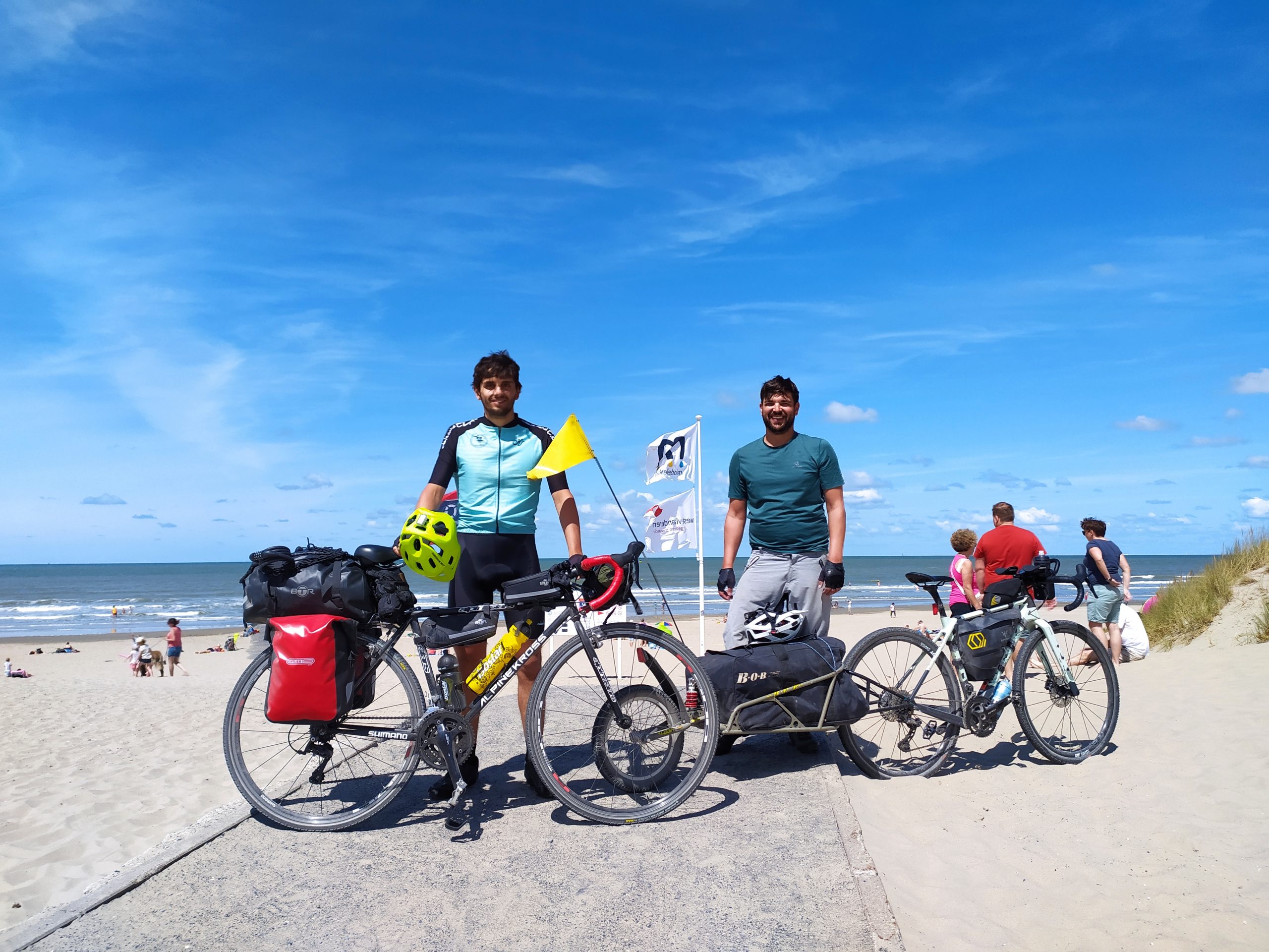
As for bikes? You’ll know more about your setup than we do. If you’re planning to cycle a trail because of time constraints, here’s what you can do: download the GPX, check the terrain, and go talk to your local bike shop. They’ll give you better advice than any forum. That’s what we do and it’s never let us down.
Not sure how to change a tyre? Neither did we. We hit YouTube, asked around, and figured it out. That’s part of it.